Knihy 2015, ordnance survey
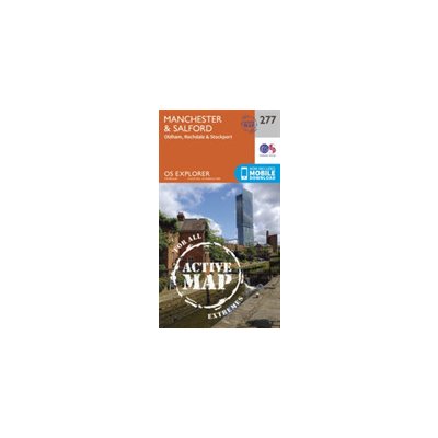 Manchester and Salford
 Luton and Stevenage Ordnance SurveySheet map, folded
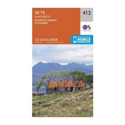 Skye - Sleat Ordnance SurveySheet map, folded
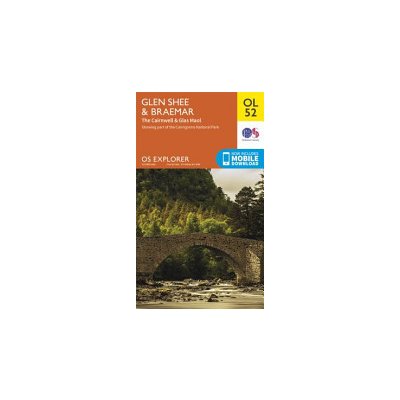 Glen Shee & Braemar, the Cairnwell & Glas Maol Ordnance SurveySheet map, folded
Glen Shee & Braemar, the Cairnwell & Glas Maol Ordnance SurveySheet map, folded
- Ordnance Survey
- anglické
- 2015
OS Explorer is the Ordnance Survey's most detailed map and is recommended for anyone enjoying outdoor activities like walking, horse riding and off-road cycling. Providing...
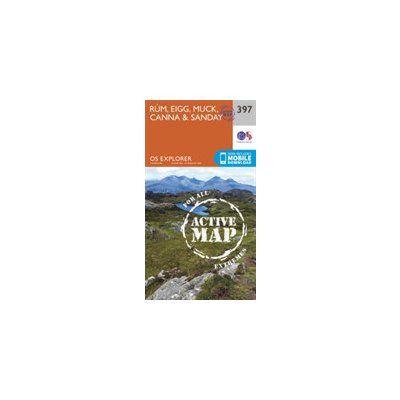 Rum Eigg Muck Canna and Sanday
Rum Eigg Muck Canna and Sanday
- Ordnance Survey
- anglické
- 2015
Kniha napsaná v cizým jazyce. Je velmi čtivá. Vhodná i pro trénování cizího jazyka.
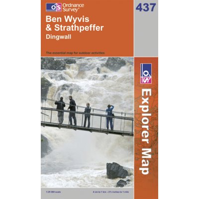 Ben Wyvis and Strathpeffer
Ben Wyvis and Strathpeffer
- Ordnance Survey
- anglické
- Ordnance Survey
- 1
- 2015
OS Explorer Map is the Ordnance Survey's most detailed map and is recommended for anyone enjoying outdoor activities like walking, horse riding and off-road cycling. Providing...
 Atholl, Glen Tilt, Beinn Dearg a Carn nan Gabhar
Atholl, Glen Tilt, Beinn Dearg a Carn nan Gabhar
- Ordnance Survey
- anglické
- 2015
OS Explorer is the Ordnance Survey's most detailed map and is recommended for anyone enjoying outdoor activities like walking, horse riding and off-road cycling. Providing...
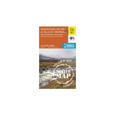 Grantown-on-Spey a Hills of Cromdale, Upper Knockando a Tomnavoulin
Grantown-on-Spey a Hills of Cromdale, Upper Knockando a Tomnavoulin
- Ordnance Survey
- anglické
- 2015
OS Explorer is the Ordnance Survey's most detailed map and is recommended for anyone enjoying outdoor activities such as walking, horse riding and off-road cycling. The series...
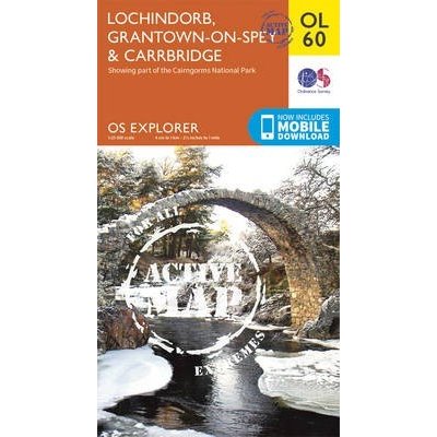 Lochindorb, Grantown-on-Spey a Carrbridge
Lochindorb, Grantown-on-Spey a Carrbridge
- Ordnance Survey
- anglické
- 2015
OS Explorer is the Ordnance Survey's most detailed map and is recommended for anyone enjoying outdoor activities such as walking, horse riding and off-road cycling. The series...
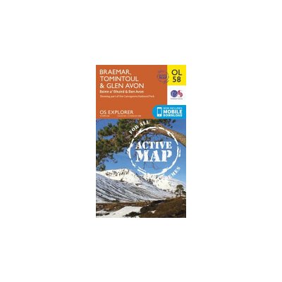 Braemar, Tomintoul a Glen Avon, Beinn a' Bhuird a Ben Avon
Braemar, Tomintoul a Glen Avon, Beinn a' Bhuird a Ben Avon
- Ordnance Survey
- anglické
- 2015
OS Explorer is the Ordnance Survey's most detailed map and is recommended for anyone enjoying outdoor activities such as walking, horse riding and off-road cycling. The series...
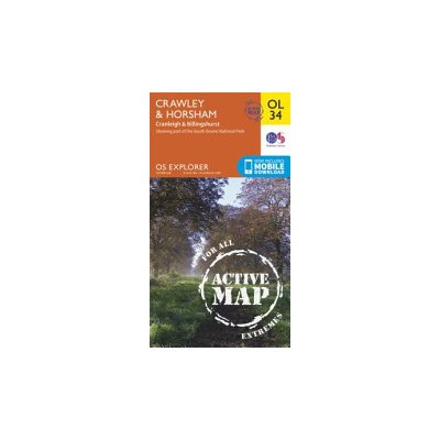 Crawley a Horsham, Cranleigh a Billingshurst
Crawley a Horsham, Cranleigh a Billingshurst
- Ordnance Survey
- anglické
- 2015
OS Explorer is the Ordnance Survey's most detailed map and is recommended for anyone enjoying outdoor activities such as walking, horse riding and off-road cycling. The series...
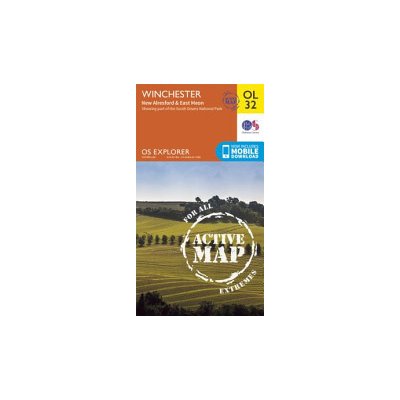 Winchester, New Alresford a East Meon
Winchester, New Alresford a East Meon
- Ordnance Survey
- anglické
- 2015
OS Explorer is the Ordnance Survey's most detailed map and is recommended for anyone enjoying outdoor activities such as walking, horse riding and off-road cycling. The series...
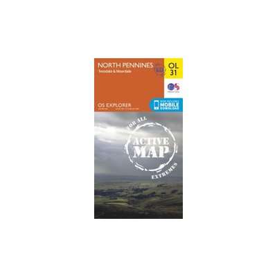 North Pennines - Teesdale a Weardale
North Pennines - Teesdale a Weardale
- Ordnance Survey
- anglické
- 2015
OS Explorer is the Ordnance Survey's most detailed map and is recommended for anyone enjoying outdoor activities such as walking, horse riding and off-road cycling. The series...
 Glen Shee a Braemar, the Cairnwell a Glas Maol
Glen Shee a Braemar, the Cairnwell a Glas Maol
- Ordnance Survey
- anglické
- 2015
OS Explorer is the Ordnance Survey's most detailed map and is recommended for anyone enjoying outdoor activities such as walking, horse riding and off-road cycling. The series...
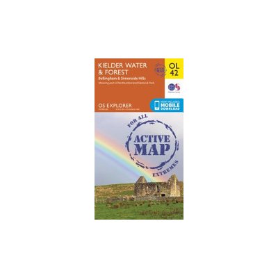 Kielder Water a Forest, Bellingham a Simonside Hills
Kielder Water a Forest, Bellingham a Simonside Hills
- Ordnance Survey
- anglické
- 2015
OS Explorer is the Ordnance Survey's most detailed map and is recommended for anyone enjoying outdoor activities such as walking, horse riding and off-road cycling. The series...
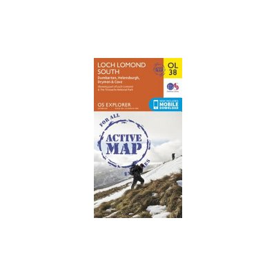 Loch Lomond South, Dumbarton a Helensburgh, Drymen a Cove
Loch Lomond South, Dumbarton a Helensburgh, Drymen a Cove
- Ordnance Survey
- anglické
- 2015
OS Explorer is the Ordnance Survey's most detailed map and is recommended for anyone enjoying outdoor activities such as walking, horse riding and off-road cycling. The series...
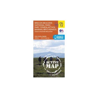 Brecon Beacons National Park / Parc Cenedlaethol Bannau Brycheiniog Eastern Area / Ardal Ddwyreiniol
Brecon Beacons National Park / Parc Cenedlaethol Bannau Brycheiniog Eastern Area / Ardal Ddwyreiniol
- Ordnance Survey
- anglické
- 2015
OS Explorer is the Ordnance Survey's most detailed map and is recommended for anyone enjoying outdoor activities such as walking, horse riding and off-road cycling. The series...
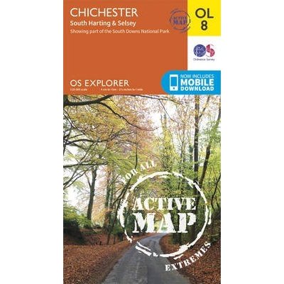 Chichester, South Harting a Selsey
Chichester, South Harting a Selsey
- Ordnance Survey
- anglické
- 2015
OS Explorer is the Ordnance Survey's most detailed map and is recommended for anyone enjoying outdoor activities such as walking, horse riding and off-road cycling. The series...
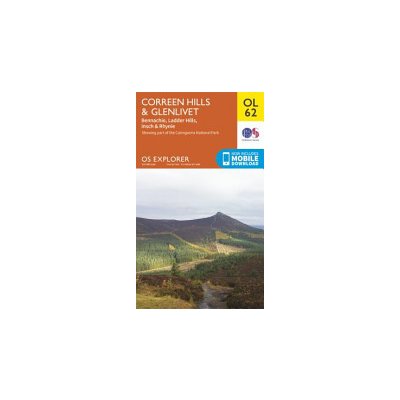 Correen Hills a Glenlivet, Bennachie a Ladder Hills, Insch a Rhynie
Correen Hills a Glenlivet, Bennachie a Ladder Hills, Insch a Rhynie
- Ordnance Survey
- anglické
- 2015
OS Explorer is the Ordnance Survey's most detailed map and is recommended for anyone enjoying outdoor activities like walking, horse riding and off-road cycling. Providing...
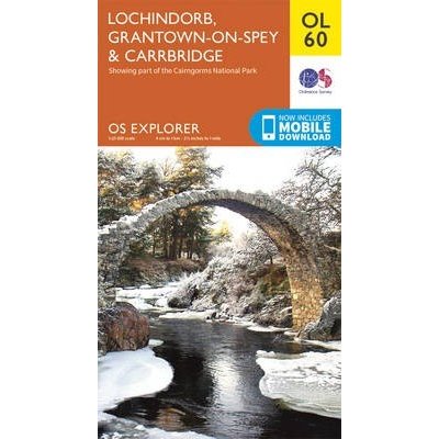 Lochindorb, Grantown-on-Spey a Carrbridge
Lochindorb, Grantown-on-Spey a Carrbridge
- Ordnance Survey
- anglické
- 2015
OS Explorer is the Ordnance Survey's most detailed map and is recommended for anyone enjoying outdoor activities like walking, horse riding and off-road cycling. Providing...
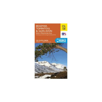 Braemar, Tomintoul a Glen Avon, Beinn a' Bhuird a Ben Avon
Braemar, Tomintoul a Glen Avon, Beinn a' Bhuird a Ben Avon
- Ordnance Survey
- anglické
- 2015
OS Explorer is the Ordnance Survey's most detailed map and is recommended for anyone enjoying outdoor activities like walking, horse riding and off-road cycling. Providing...
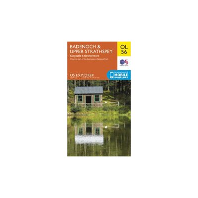 Badenoch a Upper Strathspey, Kingussie a Newtonmore
Badenoch a Upper Strathspey, Kingussie a Newtonmore
- Ordnance Survey
- anglické
- 2015
OS Explorer is the Ordnance Survey's most detailed map and is recommended for anyone enjoying outdoor activities like walking, horse riding and off-road cycling. Providing...
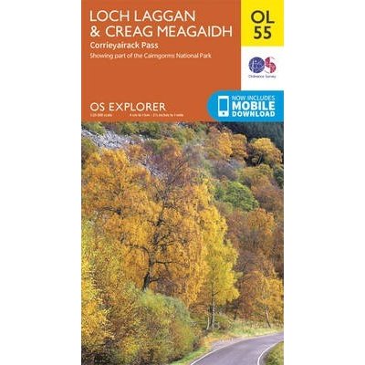 Loch Laggan a Creag Meagaidh, Corrieyairack Pass
Loch Laggan a Creag Meagaidh, Corrieyairack Pass
- Ordnance Survey
- anglické
- 2015
OS Explorer is the Ordnance Survey's most detailed map and is recommended for anyone enjoying outdoor activities like walking, horse riding and off-road cycling. Providing...
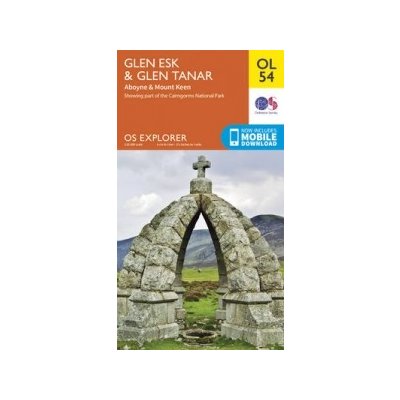 Glen Esk a Glen Tanar, Aboyne a Mount Keen
Glen Esk a Glen Tanar, Aboyne a Mount Keen
- Ordnance Survey
- anglické
- 2015
OS Explorer is the Ordnance Survey's most detailed map and is recommended for anyone enjoying outdoor activities like walking, horse riding and off-road cycling. Providing...